Palo Alto and the surrounding area has so many connecting nature preserves with trails. I’m so grateful that I have access to so much great hiking. I mostly hike and run in the Dish, Arastradero, and Foothills preserves but have also hiked in many other nearby preserves. Here, I rank some of the closest preserves in the categories of views, plants, and accessibility from Stanford (out of 5 stars for each).
Dish
Notes: The classic Stanford hike! It never disappoints. The paved, hilly 3-mile path is great for both walking and running.
Views: 4 stars – You get a great view of Palo Alto, the bay, the surrounding mountains, and SF on a clear day.
Plants: 2 stars – There is a lot of prairie grass close to the trail and scattered trees in the preserve area.
Accessibility from Stanford: 5 stars – The Dish is on Stanford campus.
Arastradero
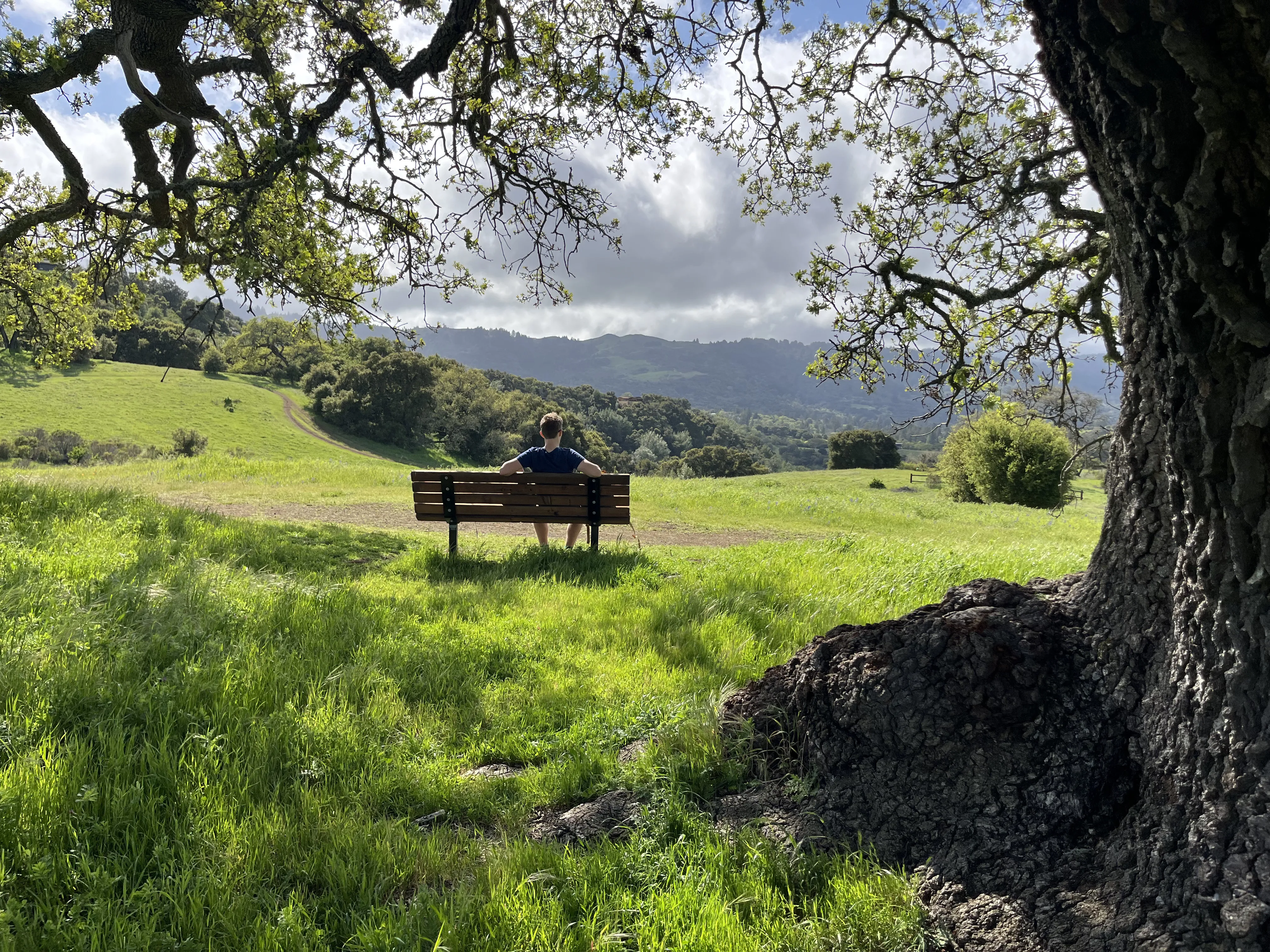
Notes: Arastradero offers gravel and dirt trails that are nice for both walking and running. The preserve is more serene than the Dish hike with fewer hikers. My favorite spot in the preserve is the bench on the Bowl Loop trail (southern part). Arastradero is super great, highly recommend.
Views: 4 stars – The views are similar to the Dish but better because you’re higher in the hills. But I’m already too close to 5 stars to give it a higher ranking.
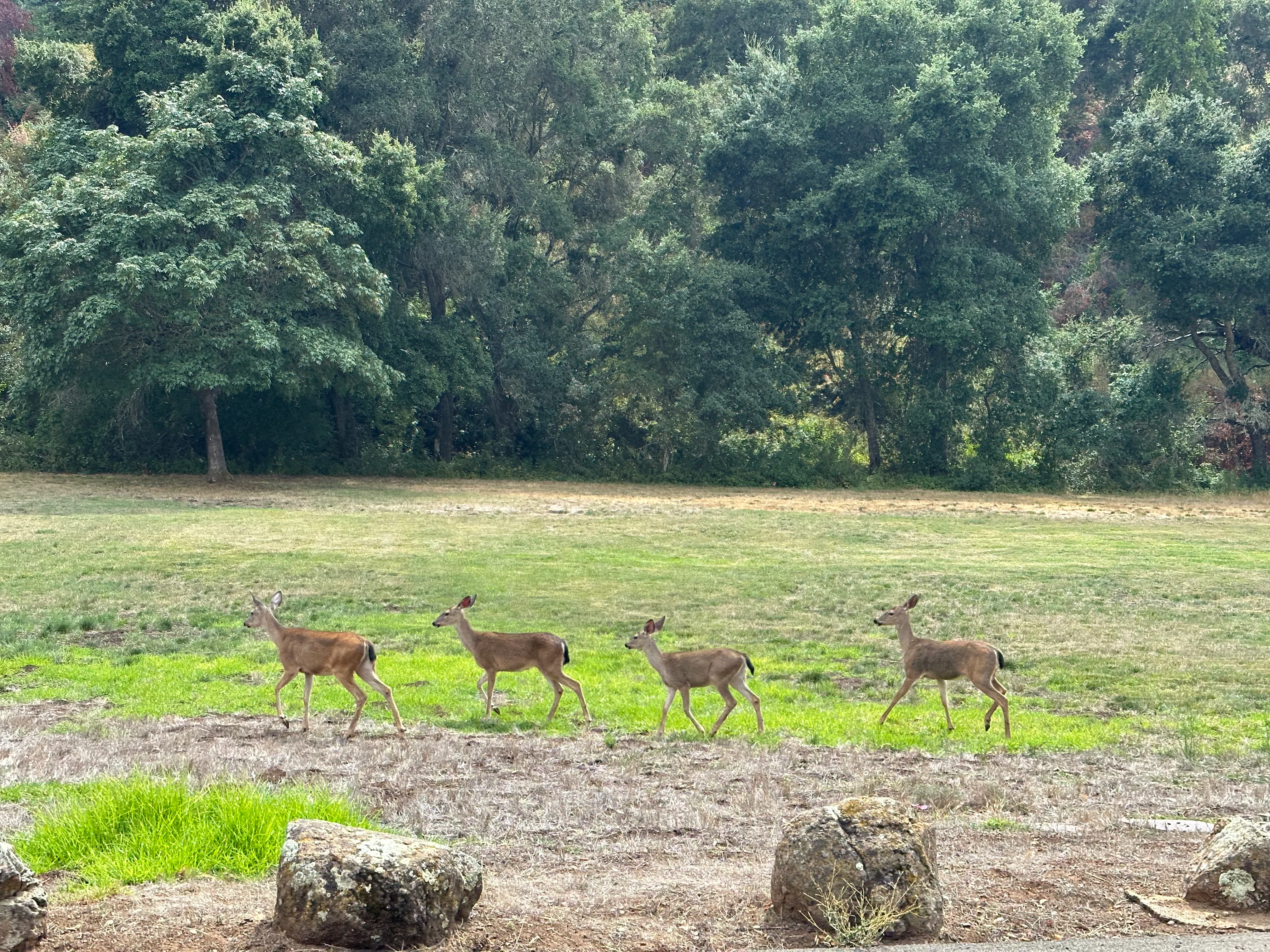
Plants: 3 stars – Similar to the Dish; it gets and feels dry in the summer and fall. The trails and areas of the preserve differ a lot, and there are a lot of flowers in the spring. I know it is not a plant, but I have also seen three rattlesnakes here.
Accessibility from Stanford: 4 stars – It is a nice 3.5 mile (~15 minute) bike ride from Stanford. After the Dish, this is the closest hike from Stanford.
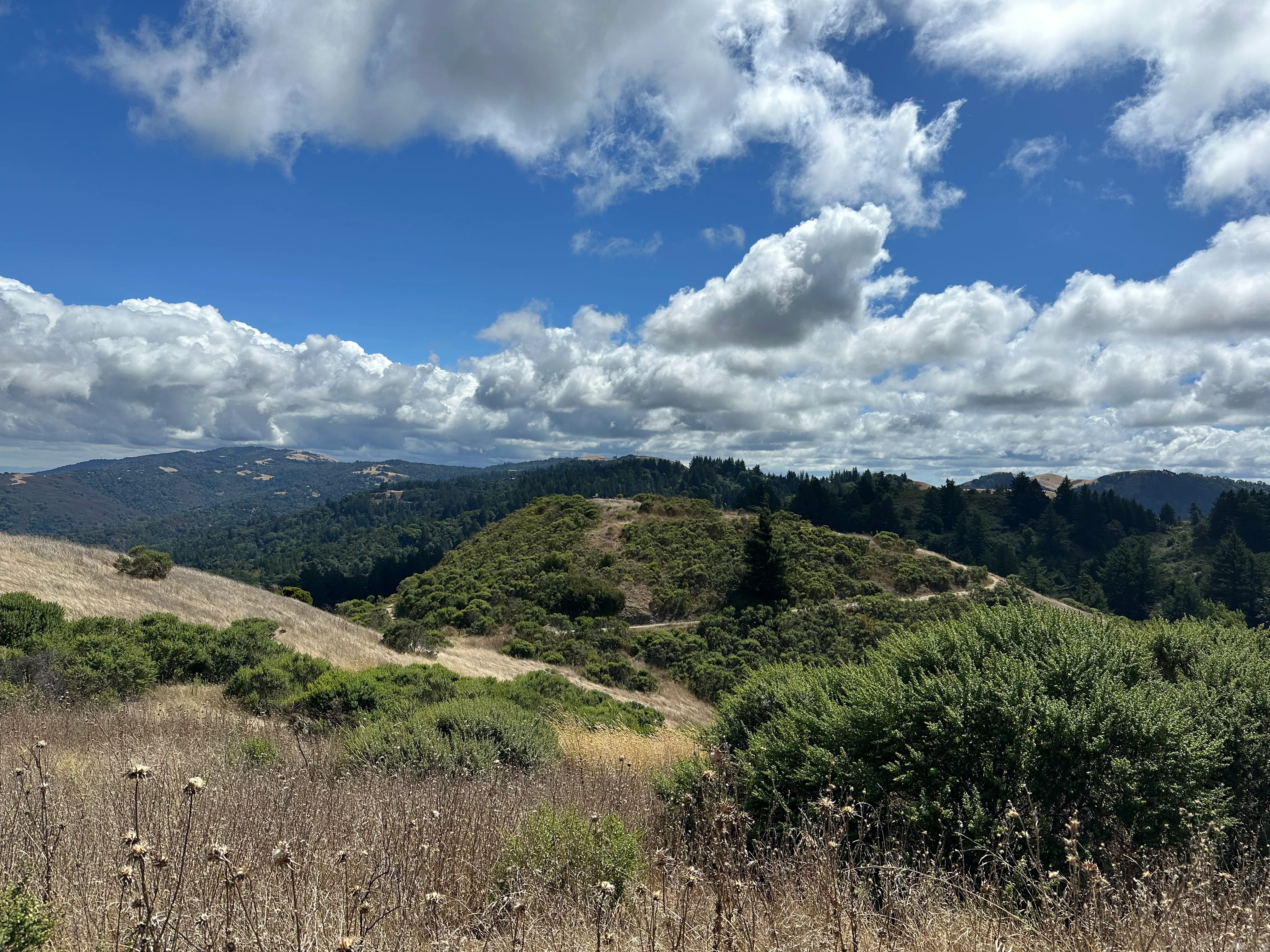
Foothills
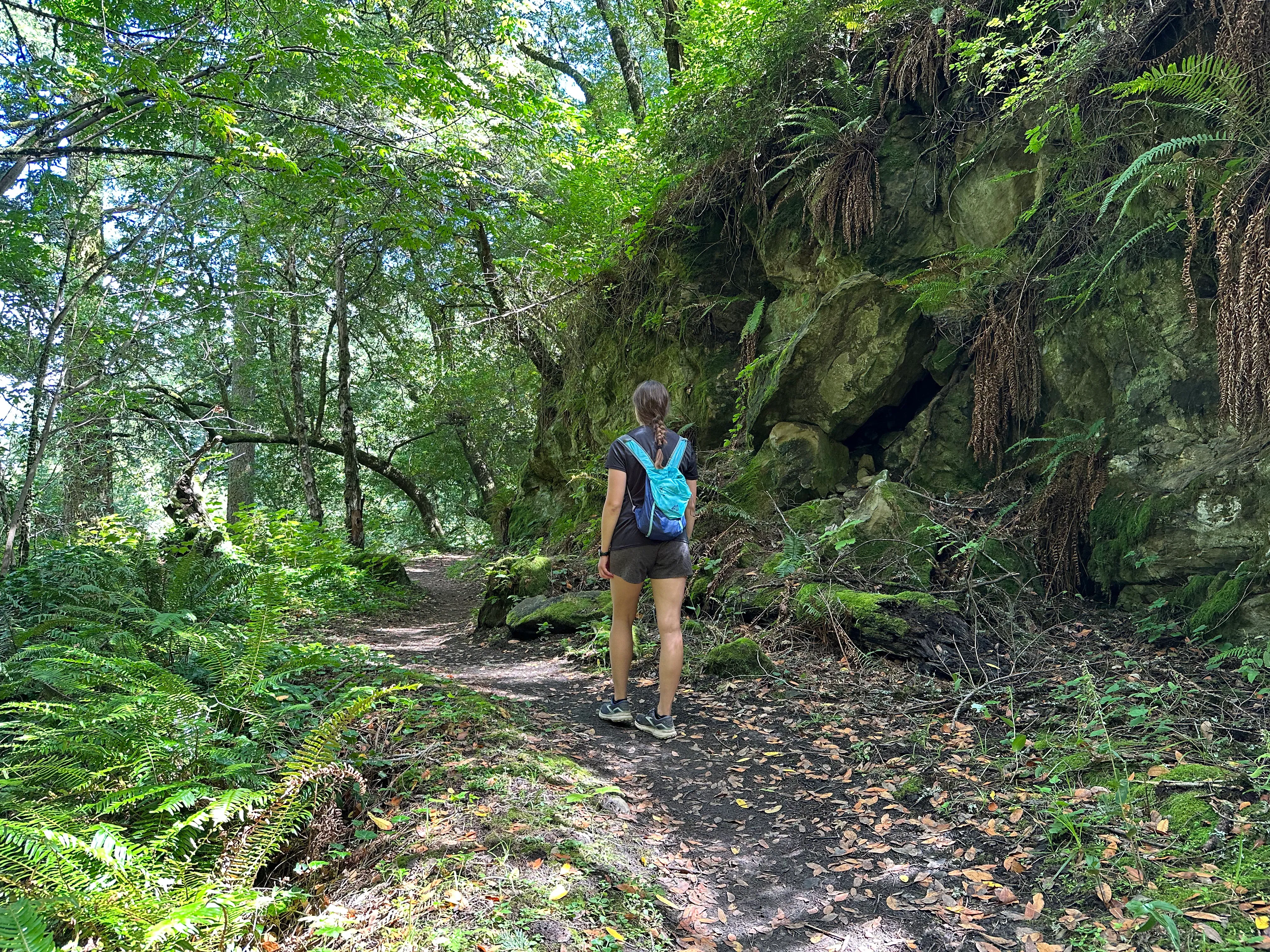
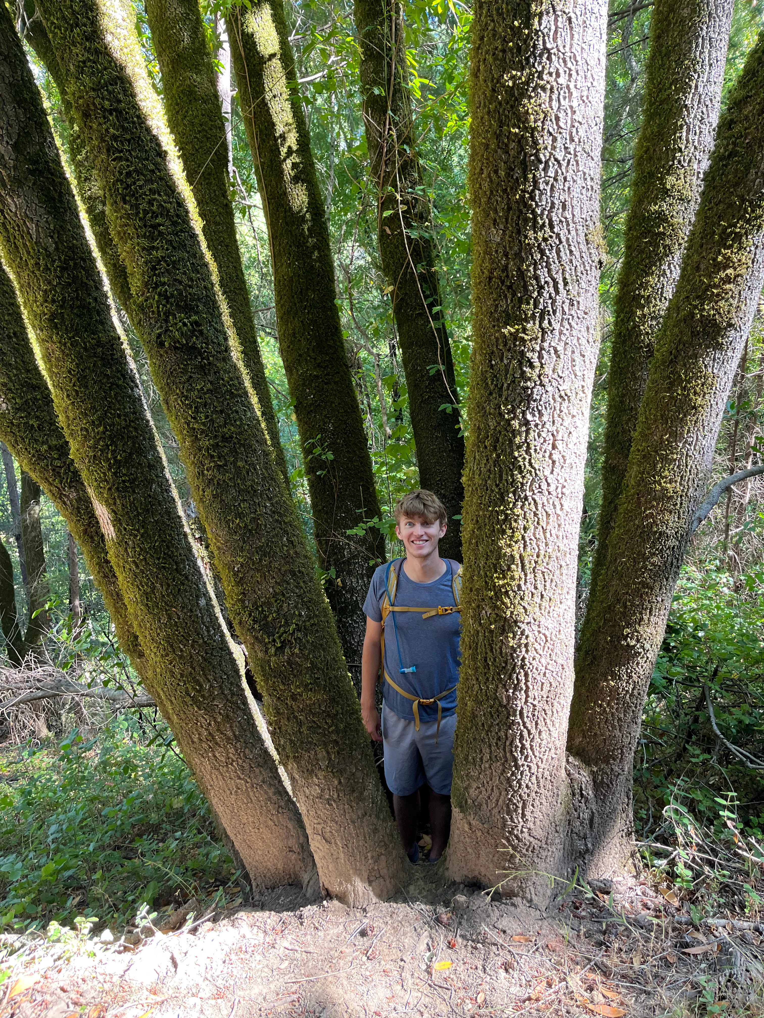
Notes: I love Foothills! The trails are narrower and steeper and surrounded by more vegetation than Arastradero’s trails. My favorite stopping points are the Arbolejo Overlook (beautiful views and a bench) and the visitor center (super comfortable couches). Foothills has lots of benches scattered about which is really nice.
Views: 4.5 stars – You get some views of the bay, but more impressive are the views of tree-covered mountains and valleys.
Plants: 5 stars – So many trees and shrubs!!! So awesome. The Toyon trail has a booklet at the start with information about some of the common species. Again, not a plant, but I once saw a baby mountain lion on the Los Trancos trail.
Accessibility from Stanford: 3 stars – I typically bike 3.5 miles to Arastradero and then walk or run ~2 miles through Arastradero to Foothills to get here. I sometimes instead do a nice bike ride through neighborhood roads in the Los Altos hills or up the gravel Arastradero Creek trail in Arastradero to get directly to Foothills.
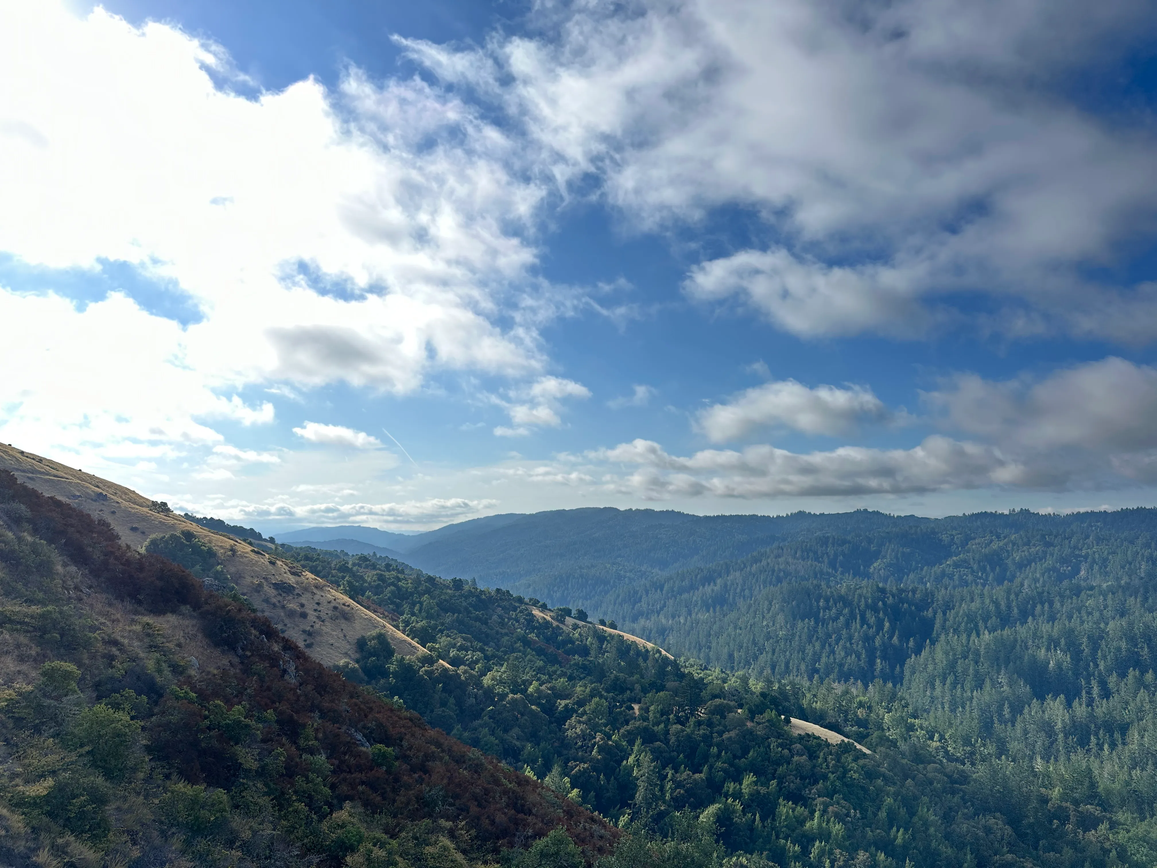
Windy Hill
Notes: I don’t go to Windy Hill super often just because I like the Dish, Arastradero, and Foothills so much, but it is awesome every time I go. The main hikes to do are a loop around the preserve or around half of the preserve. There is a log with a carved out seat with a reclining back rest on the Razorback Ridge trail that is great to relax on and listen to the birds chirping around you.
Views: 5 stars – You can see the ocean and the bay from the top of the preserve!
Plants: 5 stars – It really can feel like you’re in the jungle with moss-covered trees surrounding you at times. With other parts feeling like the desert, there is a lot of diversity. Also, there are blackberries!
Accessibility from Stanford: 3 stars – It is an ~45 minute bike ride there and ~30 minute bike ride back, nearly all on a bike / pedestrian trail. I recommend stopping at Alpine Inn for brussel sprouts and frozen lemonade on the way back yummm.
Coal Mine Ridge
Notes: The trails are peaceful, and it is easier to go for a short hike here than in Windy Hill. There is a nice swing on Toyon trail.
Views: 2 stars – Trees block most views of the bay and surrounding mountains on some of the trails I’ve been on. The views from Toyon trail in particular are super nice.
Plants: 4 stars – Lots of trees!
Accessibility from Stanford: 2.5 stars – Coal Mine Ridge is near Windy Hill but requires you to go further up Alpine Road, adding more elevation gain to the bike ride and reducing its accessibility by half a star. You do get a more thrilling ride back, though!
Coal Creek
Notes: Honestly, there’s not much reason to ever hike here unless you’re using it to connect to other preserves since there are so many great closer preserves. The trails in Coal Creek are not as well maintained or labeled as in the other Palo Alto preserves. The preserve seems popular for mountain biking.
Views: 1 star – Not much going on. Not to hate on Coal Creek.
Plants: 3 stars – Lots of plants and trees, including lots of poison oak.
Accessibility from Stanford: 2 stars – If you bike all the way up Alpine Road (a few pretty steep miles past Coal Mine Ridge), you get to the bottom of the preserve. You might as well go to Windy Hill or Coal Mine Ridge instead if you’re biking this way, though. Although the bike ride down from Coak Creek to Coal Mine Ridge is super fun.
Los Trancos
Notes: Los Trancos is a steep preserve with dense vegetation and the earthquake trail on the San Andreas fault. The earthquake trail has stops along the way with descriptions available online.
Views: 2 stars – There aren’t any sweeping views of the bay or the ocean. You are surrounded by trees.
Plants: 5 stars – Lots of trees and plants around, very green! Smells great.
Accessibility from Stanford: 2 stars – You can get here by biking to Arastradero and running or hiking through Arastradero and Foothills. Since it is far, I’ve only done this once on a run and have visited Los Trancos while backpacking the other few times I’ve been. If you are willing to bike all the way up Page Mill Road (not scared off by the curvy road, lack of a bike lane, and big elevation gain like me), you can get there by bike too.
Monte Bello
Notes: Monte Bello preserve features Black Mountain and the Black Mountain backpack camp. The area is pretty remote and is amazing.
Views: 5 stars – Spectacular views of mountain ranges all around you.
Plants: 3 stars - Lots of diversity throughout the preserve but gets quite dry near Black Mountain.
Accessibility from Stanford: 1 star – If you’re camping at Black Mountain backpack camp, you can hike from Stanford in a day (~15 miles), and it is an amazing hike. It would be hard to hike or run there and back from Arastradero preserve within a day. You can also reach the preserve by biking up Page Mill Road, by biking to Coal Creek and hiking or biking through there, or by biking to Rhus Ridge and hiking through there.
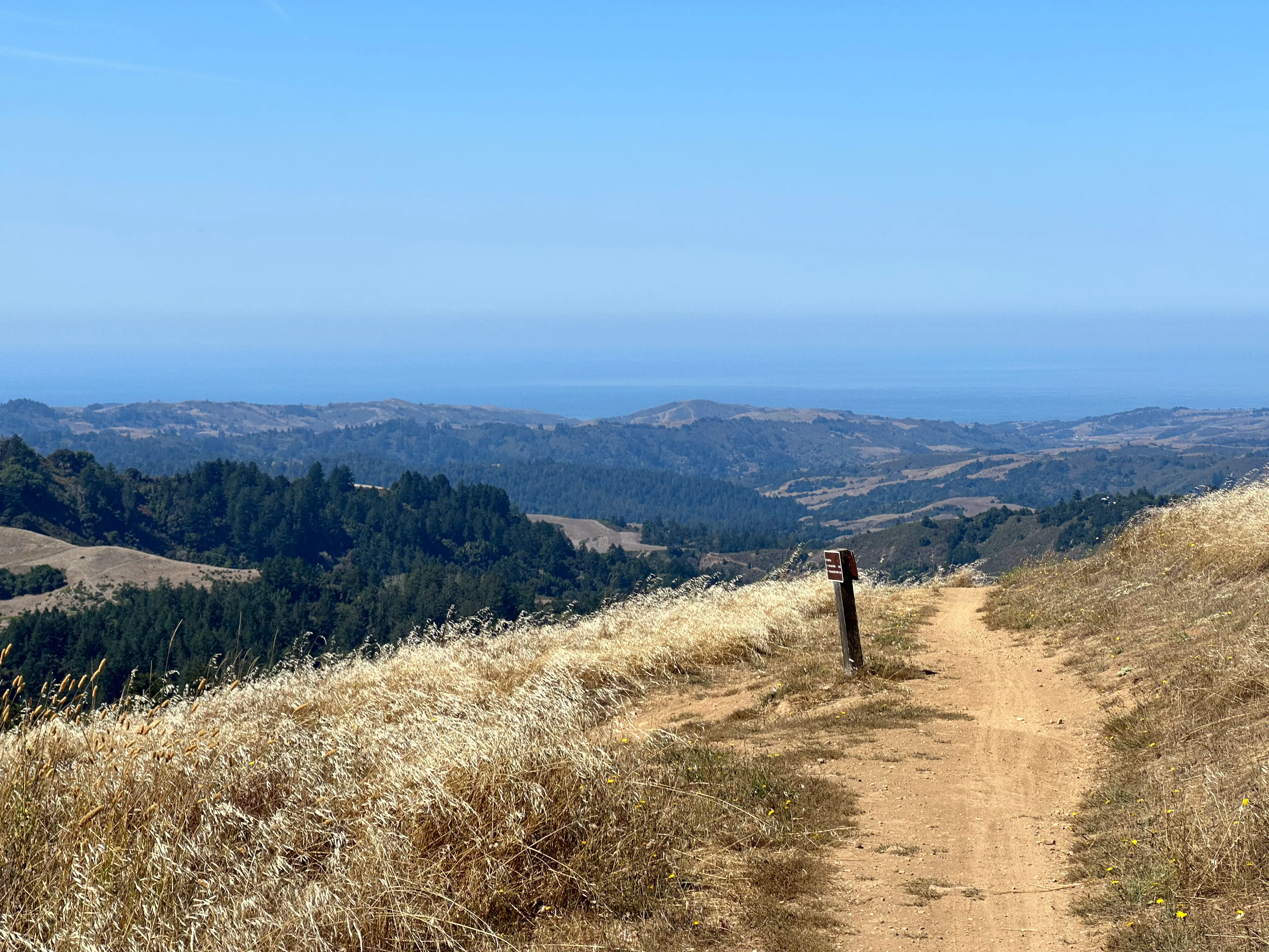
Russian Ridge and Skyline
Notes: There are some fun trails here with epic views.
Views: 5 stars – You can see the ocean and mountains! What more could you want?
Plants: 3 stars – It can get pretty dry. There’s a lot of prairie grass and fewer trees than in some of the other preserves.
Accessibility from Stanford: 1 star – I haven’t done this because it seems really hard, but you could bike up Alpine Road on the road and through Coal Creek on the gravel Alpine trail. Otherwise, the paved roads to get to these preserves have fast cars so seem scary to bike on. But people do bike on them, so it is doable. You could also road bike to Coal Creek and hike through Coal Creek. I’ve mostly just hiked here while backpacking.
Baylands
Notes: There are flat gravel trails along the bay that you can walk, run, or bike on. It is especially great for biking. There are a lot of seabirds! It can smell a little bad.
Views: 1 star – The views of the bay and the mountains across the bay are nice, but I think I prefer the views from higher up in Palo Alto.
Plants: 2 stars – Marshes, very different from the other preserves.
Accessibility from Stanford: 4 stars, ~4 mile bike ride with good bike lanes and a pedestrian bridge over the highway
Winner
Okay, I know you’re wondering which preserve won. In last came - yes, you guessed it - Coal Creek with 6 stars. Next are Baylands with 7 stars, Coal Mine Ridge with 8.5 stars, and Russian Ridge, Skyline, Monte Bello, and Los Trancos with 9 stars. Then came Arastradero with 11 stars, the Dish with 11 stars, and Foothills with 12.5 stars. And, drumroll please … Windy Hill won with 13 stars! Really, you can’t go wrong with any of these preserves, though. And my ranking is definitely biased toward the preserves that I primarily hike at and am most familiar with.
Honorable mention parks
Palo Alto also has tons of really nice, peaceful parks and areas to enjoy nature in. I am a big fan of Kite hill, Lathrop park, Frenchman’s park, Lake Lagunita, the arboretum, and the cactus garden in particular. These parks are not rated here since this post is focused on lands specifically designated as preserves, but they still deserve an honorable mention.